

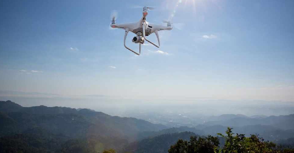
The UAE has completed the trial phase of a project to map agricultural areas using drones.
It's been helping the authorities collect data on farms and greenhouses in the country, as well as livestock population and soil type.
The Ministry of Climate Change and Environment (MOCCAE) is also using the technology to monitor crops and help farmers with forward planning.
The project's pilot phase between August and December in 2018, involved remote sensing and aerial imagery of Wadi Al-aim in Ras Al Khaimah.

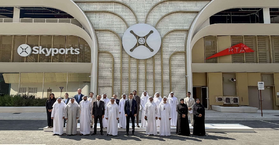 UAE certifies world's first commercial air taxi vertiport
 H.H. Sheikh Hamdan honours government entities for digital transformation
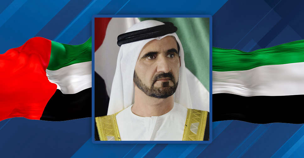 H.H. Sheikh Mohammed to honour 'most beautiful Quranic voices in the world'
 Abu Dhabi to establish specialised court for human trafficking crimes
 Mohammed Saeed appointed National Media Authority's Secretary-General